Base
Hardened build
minimal ports, security patches applied at build time

Pre-hardened wanderer to browse, upload and map hiking, cycling and running trails, with unique credentials per instance and dedicated storage. Ready in minutes with 24/7 cloudimg support.
This image arrives installed, configured and hardened, so there is no manual setup before you can use it. It is built on a patched base, runs with credentials generated uniquely for your instance on first boot, and passes an automated health check before every release. Every deployment is backed by 24/7 support from cloudimg engineers.
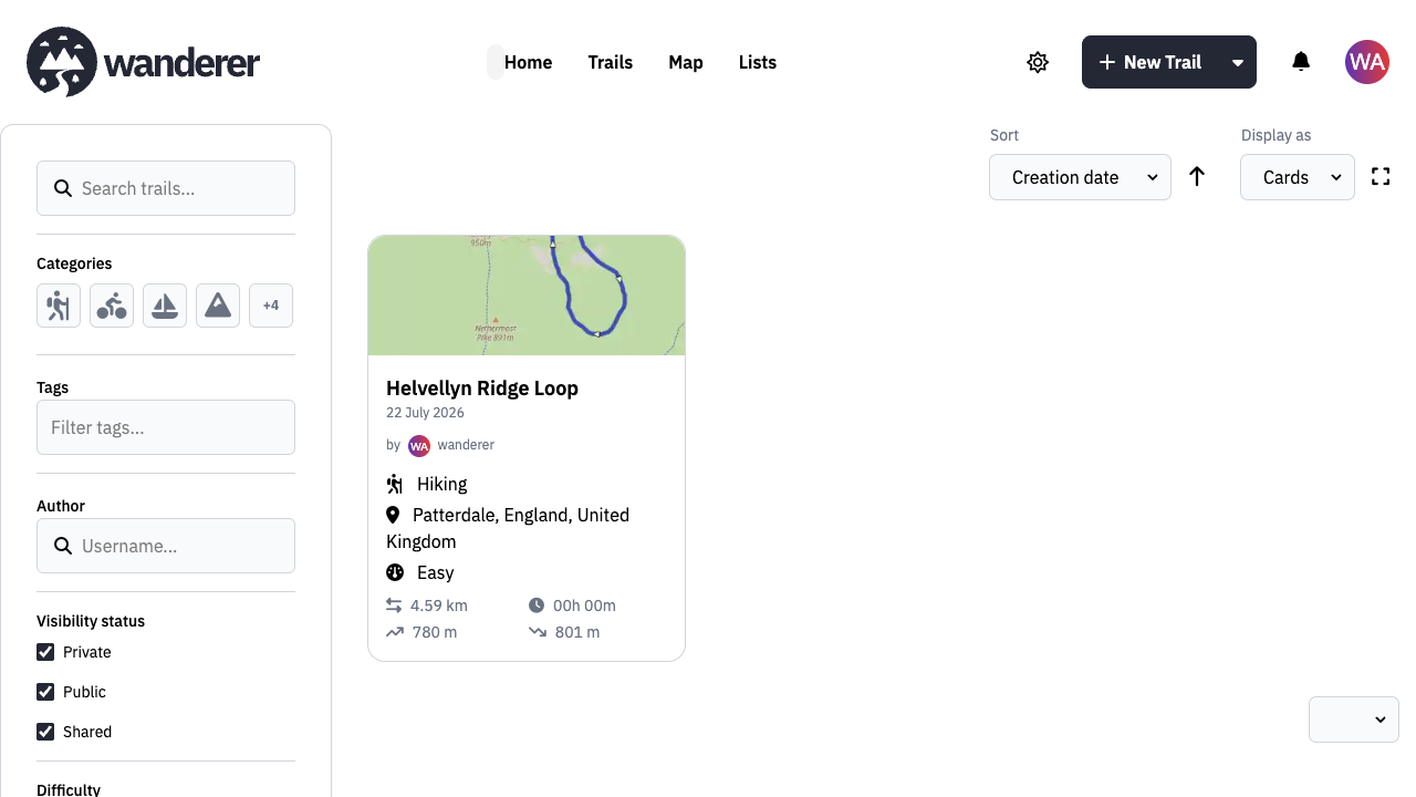
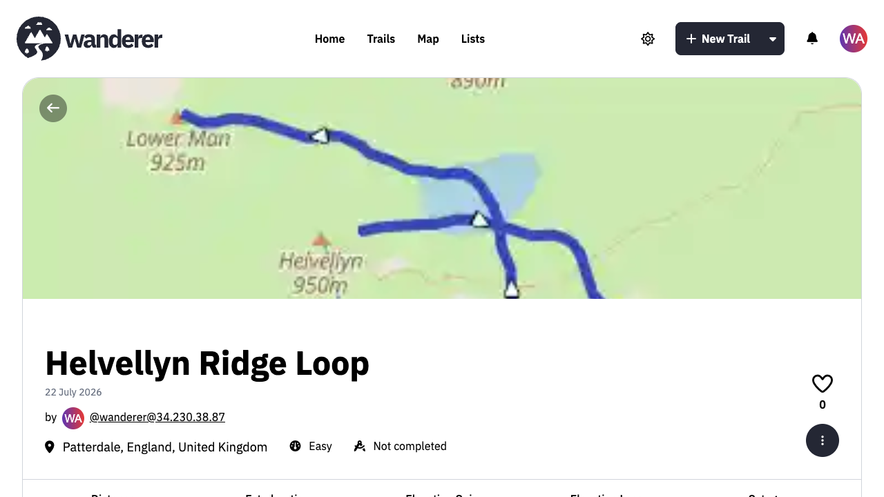
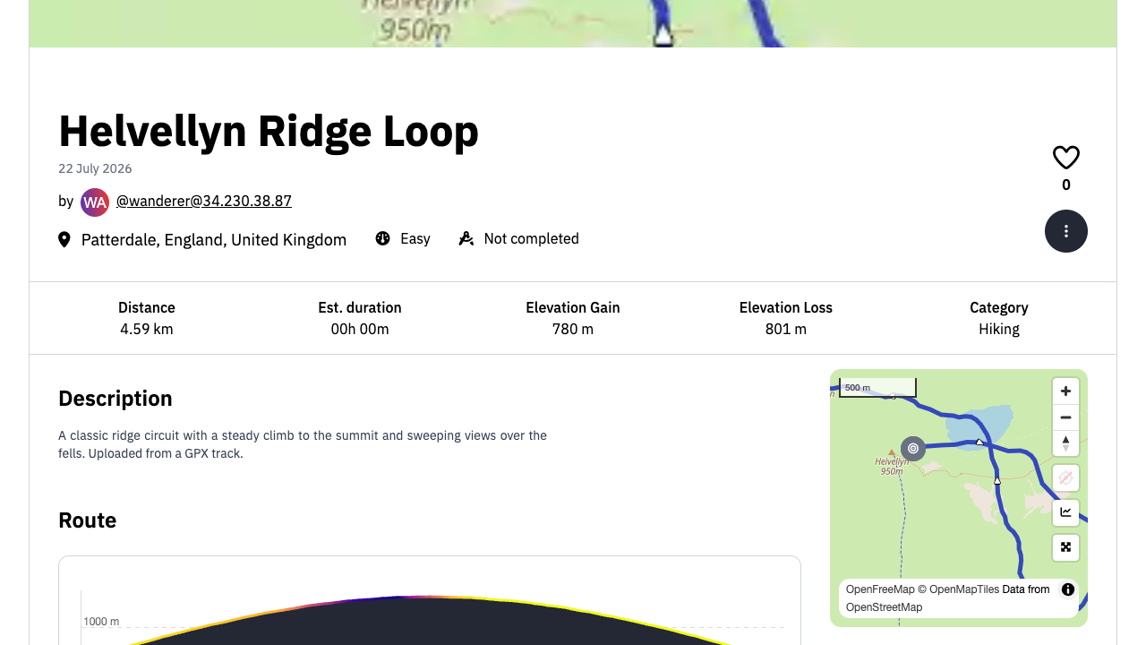
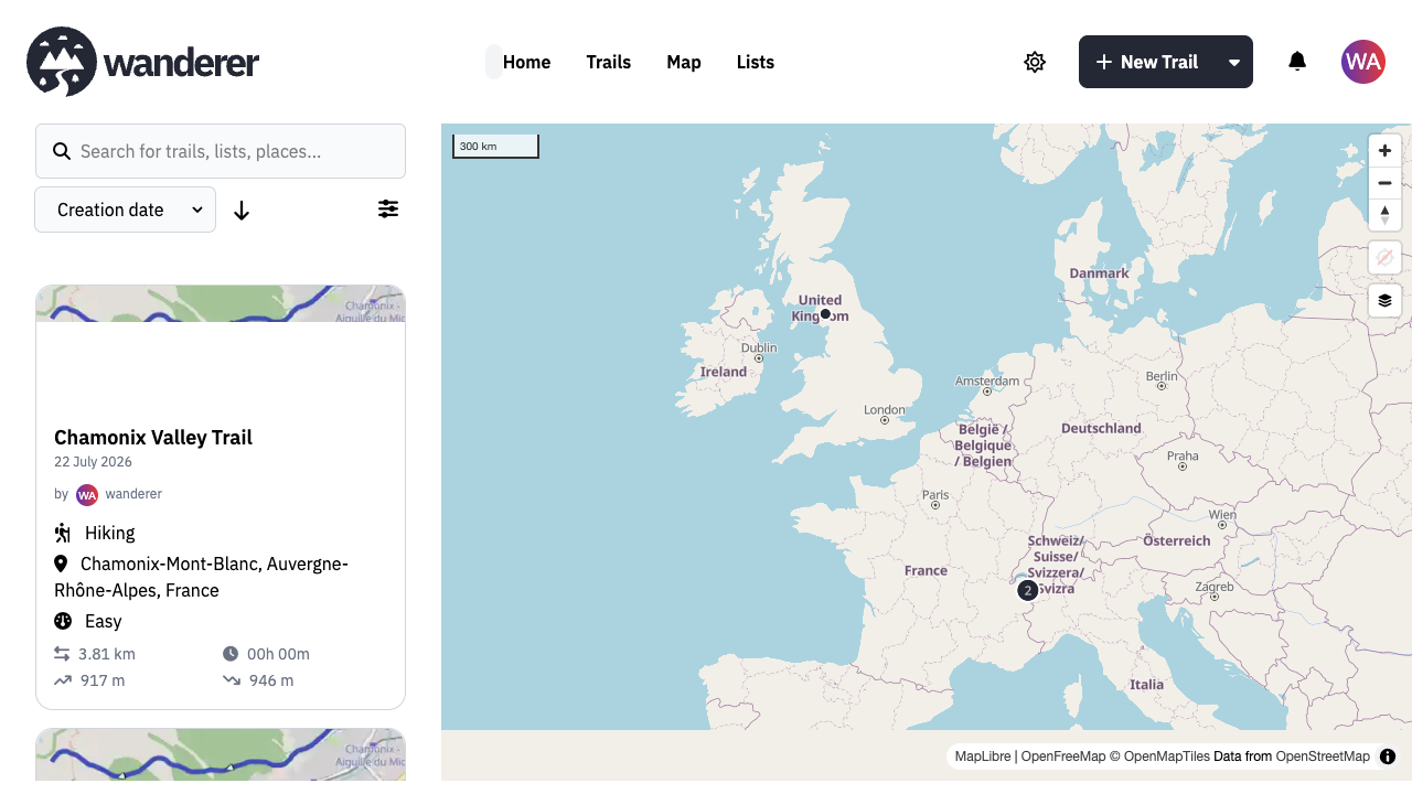
Real screenshots taken while testing this image against its deployment guide.
This is a repackaged open source software product wherein additional charges apply for cloudimg support services.
## Overview
wanderer is a free and open-source self-hosted trail and GPS-route database. Upload your GPX tracks, plan and organise hiking, cycling and running routes on an interactive map, and keep everything - waypoints, photos, lists and statistics - in a private instance you run and control in your own AWS account. This AMI delivers wanderer fully installed and secured, so a working trail database is operational within minutes of launch.
## Why This Image vs a Manual Install
wanderer is a multi-service application: a web frontend, a backend built on an embedded database and authentication layer, and a full-text search engine, normally wired together by hand with container orchestration, a reverse proxy and a set of shared secrets. This image completes all of that at build time. It runs the official upstream releases unmodified, pinned by digest, behind a single reverse proxy, and generates every secret uniquely on each instance's first boot. Launch the instance, read your unique credential, and start mapping trails.
## Application Stack
The web frontend, the backend database and authentication service, and the full-text search engine each run as their own service, orchestrated on a private internal network and fronted by a single reverse proxy on port 80. The search engine and the backend admin interface are never exposed to the network: the search engine has no host port at all, and the backend is reachable only over the loopback interface for an administrator's SSH tunnel. systemd starts the whole stack on boot. All application data - the database, uploaded GPX tracks and photos, and the search index - lives on a dedicated data volume, independently resizable and separate from the OS disk.
## Security Hardening
This image follows a defence-in-depth approach:
Buyers requiring formal compliance documentation should contact cloudimg to discuss specific requirements.
## Concrete Use Cases
## AWS Integration
Deploy on any EC2 instance type. Put the reverse proxy behind an Application Load Balancer and terminate TLS with your own domain and certificate. Back up your database, uploads and search index using EBS snapshots or AWS Backup of the dedicated data volume, which you can resize independently of the OS disk as your trail library grows.
## Getting Started
Read your credential from the root-only file, open the web interface in your browser, sign in with the seeded application account, and upload your first GPX track or draw a route on the map. Organise trails into lists, add waypoints and photos, and search your whole catalogue. Interactive map display, trail upload, browsing and search work out of the box against the public OpenStreetMap map, geocoding and routing services; self-hosting the optional turn-by-turn routing tiles is covered in the user guide.
## cloudimg Support
24/7 technical support by email and chat. Help with deployment, reverse-proxy termination with your own domain and certificate, backend administration, enabling open registration, self-hosting the optional routing service, and backup planning for your trail database.

This image runs AnythingLLM, the all-in-one open source application for chatting with your documents using any large lan...

Apache BifroMQ (Incubating) is a distributed MQTT broker written in Java, built around native multi tenancy.

Apache RocketMQ is an open-source distributed messaging and streaming platform built for low-latency, high-throughput, f...
BookCars is a popular open source, self hosted car rental and booking platform built on the MERN stack.

This image runs the full ELK Stack as a single node deployment. Elasticsearch is the distributed search and analytics en...
A preconfigured Elasticsearch, Logstash and Kibana stack with coordinated versions, ready for log analytics on launch.