Base
Hardened build
minimal ports, security patches applied at build time
GC2, a web GIS platform that turns a PostGIS database into published map services and a REST API, all managed from one browser application.
GC2 is an open source platform for managing geospatial data, publishing map services and building geospatial applications. It ties PostGIS, MapServer, QGIS Server, MapCache and GDAL together behind a single web administration application, so an organisation can run a complete spatial data infrastructure without hand editing configuration files.
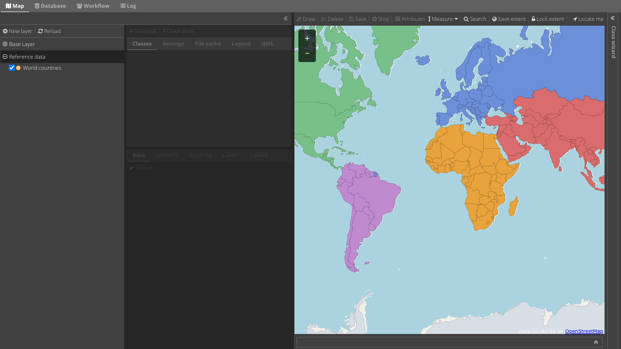
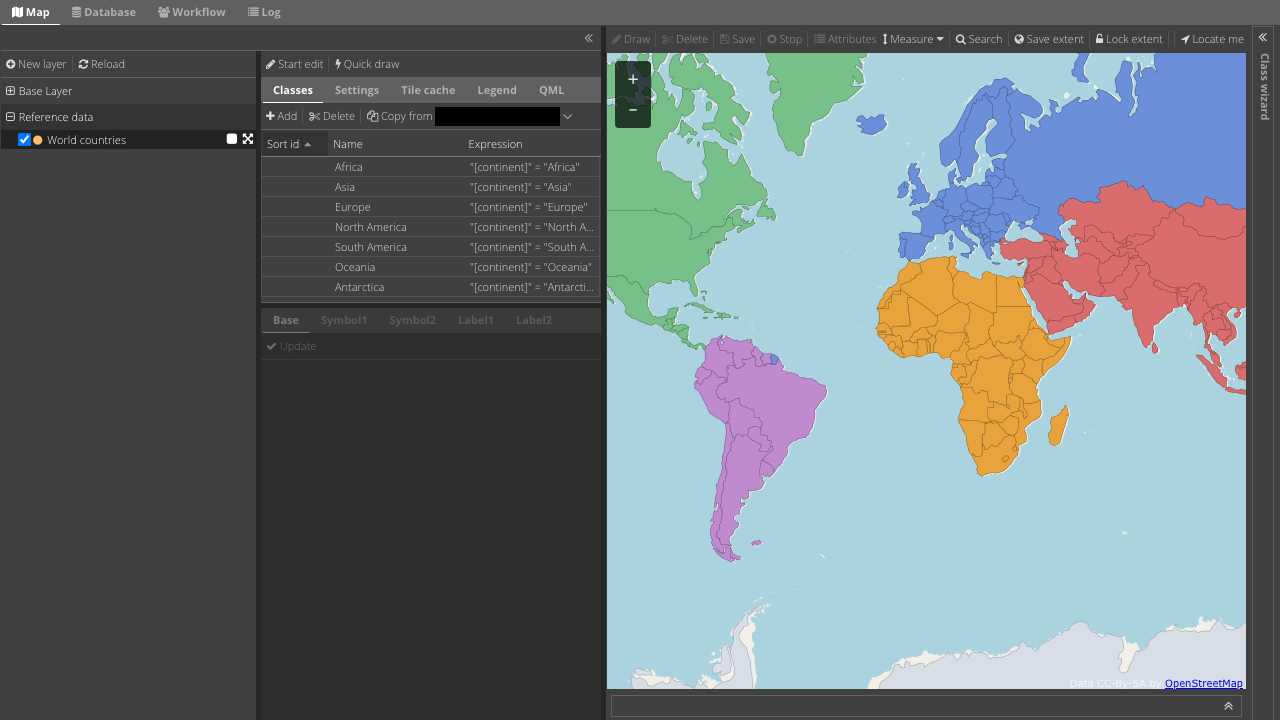
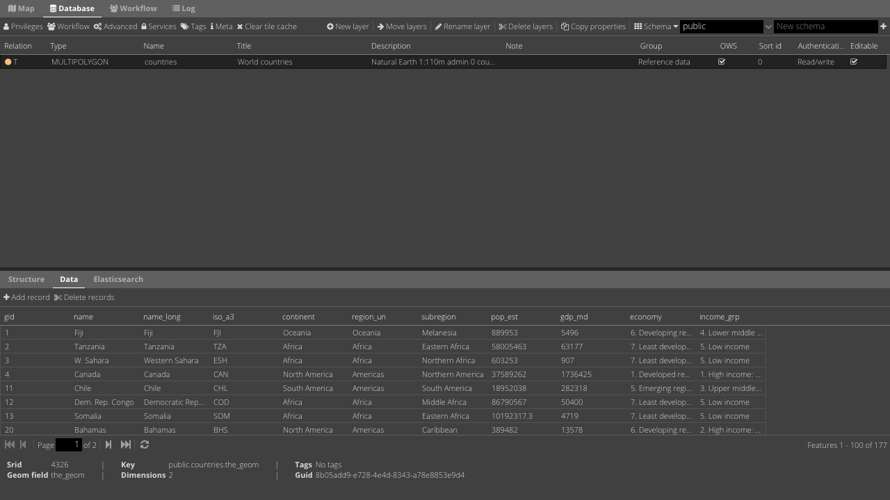
You upload spatial data in the formats you already have, such as ESRI Shapefile, MapInfo, GeoJSON, GML, KML, File Geodatabase and GeoTIFF, along with plain CSV and other tabular files, and GC2 imports them into PostGIS for you. Each layer can then be published as an OGC WMS or WFS service, cached as map tiles, styled and classified from the browser, and edited directly in the administration interface or over WFS T from a desktop GIS. Access is controlled layer by layer, and an editing workflow can route changes through an author, reviewer and publisher chain.
Alongside the map services GC2 exposes the database itself as a web service: you send SQL and receive GeoJSON, CSV or Excel, which makes it straightforward to feed dashboards, reports and custom front ends from the same authoritative spatial database. GC2 is an OSGeo Community Project.
cloudimg ships GC2 with PostGIS, MapServer, QGIS Server, MapCache and GDAL already wired together and working, on a hardened, fully patched base, so you can sign in and import your first dataset within minutes of boot. Every credential, including the administration account and both database passwords, is generated uniquely on first boot, so there is no default login to change. The image ships with a paired step by step deployment guide and is backed by 24/7 cloudimg support.
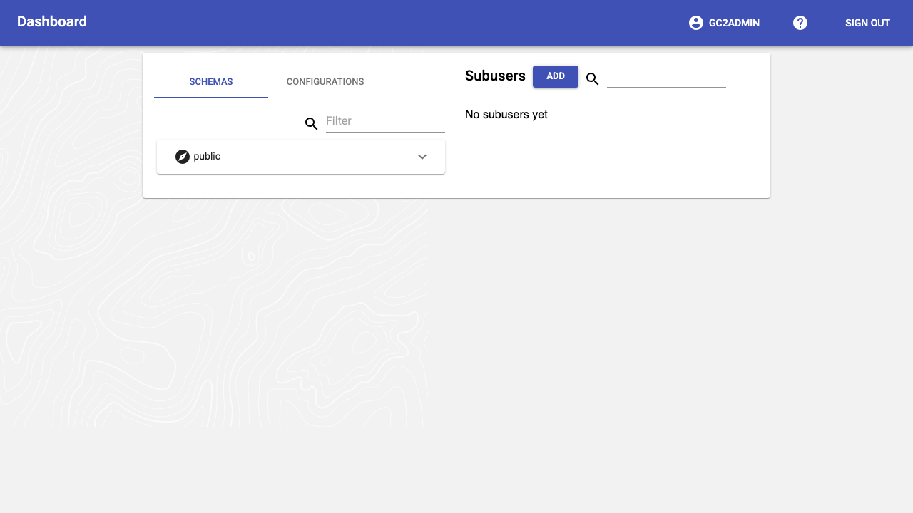
Real screenshots taken while testing this image against its deployment guide.

Actual Budget is a free, open source, local first personal finance application built around the proven envelope budgetin...

Admidio is the open source membership management platform for clubs, associations and non profit organisations.

AdventureLog is a self-hosted travel companion. It lets you log the countries and regions you have visited, plan future ...
Aim is an open-source ML experiment tracker: your training code logs metrics, hyperparameters and other artifacts as it ...

The cloudimg image ships the free and open source, GPL-3.0 licensed AirTrail application, run the officially supported w...
Akkoma is a lightweight, highly customisable open-source server for the fediverse: a self-hosted, federated microbloggin...