Base
Hardened build
minimal ports, security patches applied at build time
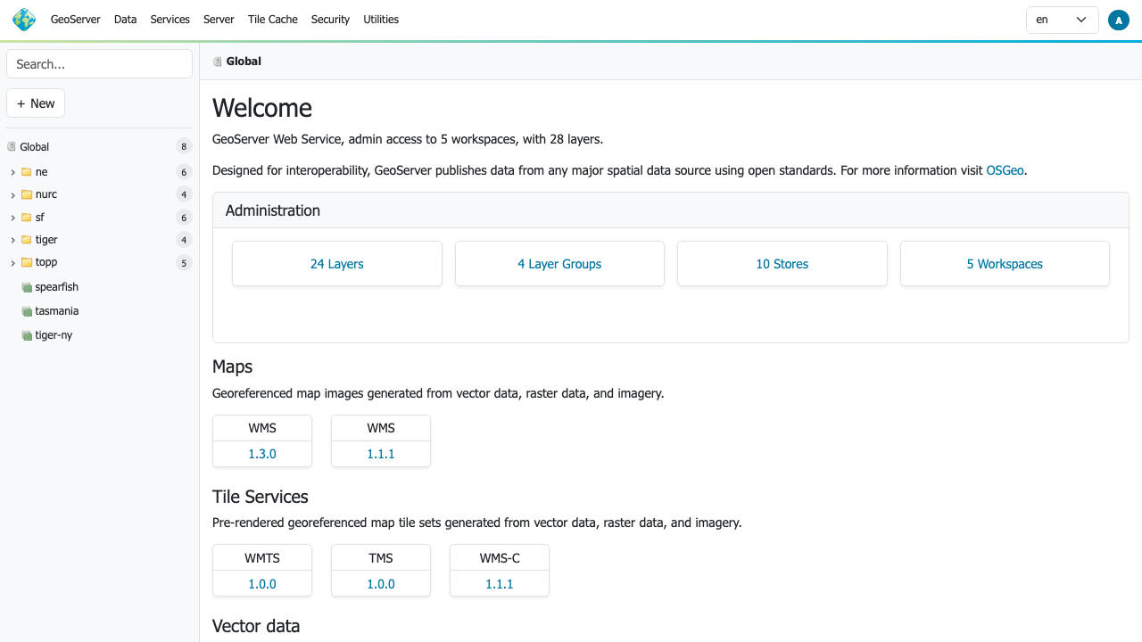
GeoServer 3.0, an open source server for sharing geospatial data, ready to publish maps and layers on first boot.
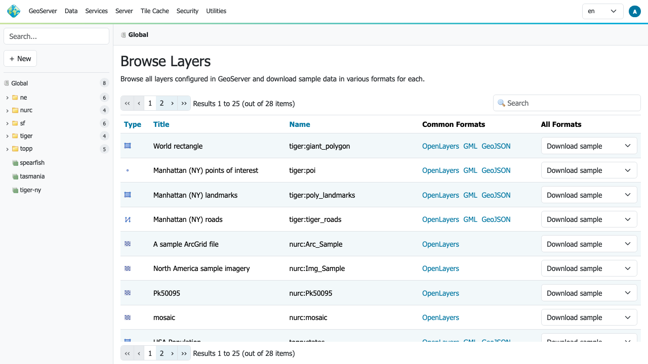
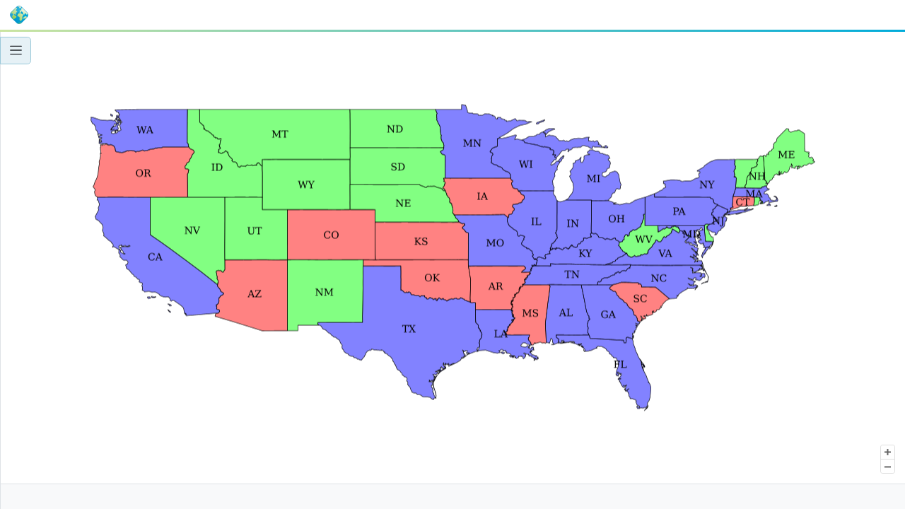
GeoServer is a Java based server that publishes and edits geospatial data using open standards such as WMS, WFS, and WCS. It is used to serve maps, imagery, and vector layers to web mapping clients and GIS applications.
cloudimg ships GeoServer hardened and fully patched on Ubuntu 24.04 LTS, preconfigured so the web interface and services respond on first boot. A unique administrator credential is generated on first boot with no default login, and 24/7 support stands behind the image.
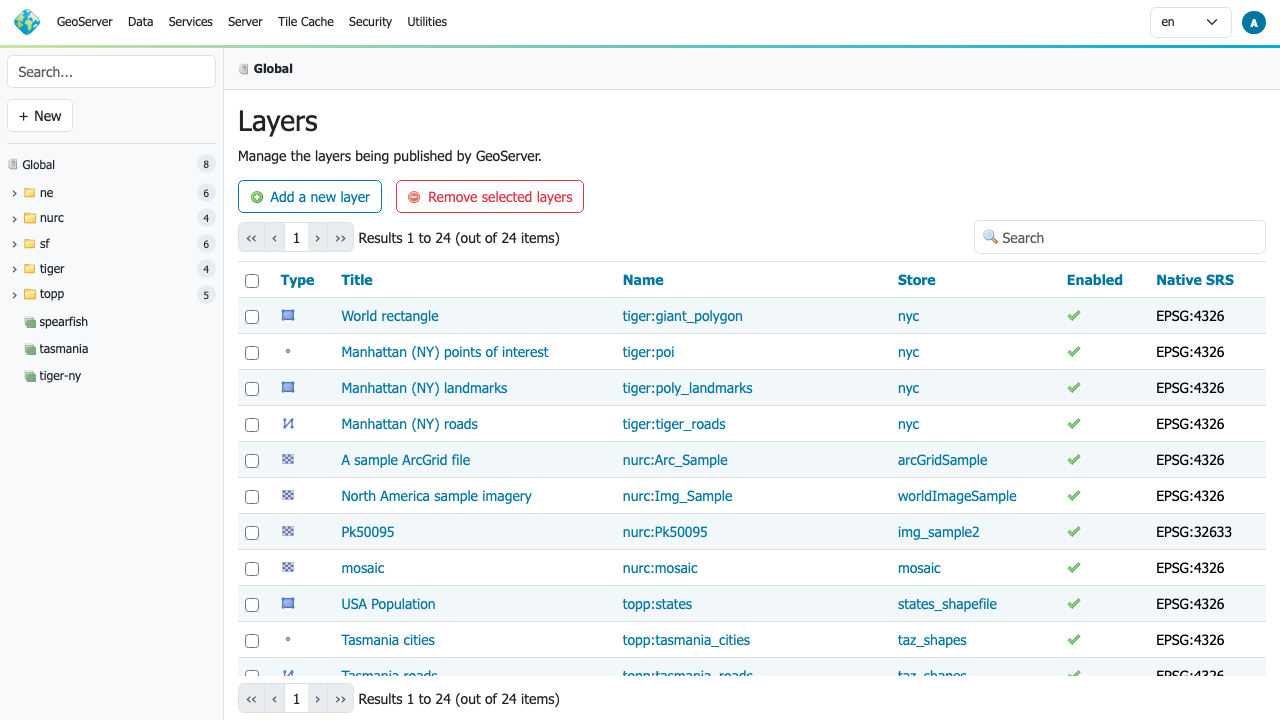
Real screenshots taken while testing this image against its deployment guide.

Actual Budget is a free, open source, local first personal finance application built around the proven envelope budgetin...

Admidio is the open source membership management platform for clubs, associations and non profit organisations.

AdventureLog is a self-hosted travel companion. It lets you log the countries and regions you have visited, plan future ...
Aim is an open-source ML experiment tracker: your training code logs metrics, hyperparameters and other artifacts as it ...

The cloudimg image ships the free and open source, GPL-3.0 licensed AirTrail application, run the officially supported w...
Akkoma is a lightweight, highly customisable open-source server for the fediverse: a self-hosted, federated microbloggin...