Base
Hardened build
minimal ports, security patches applied at build time

Mapbender is the open source OSGeo geoportal for publishing and managing web map applications from a browser backend, composing your OGC WMS and WFS services into shareable interactive maps.
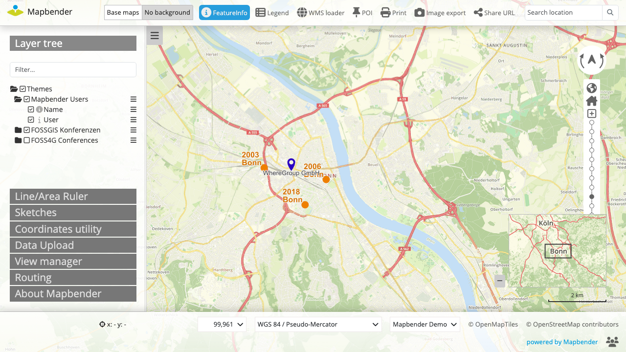
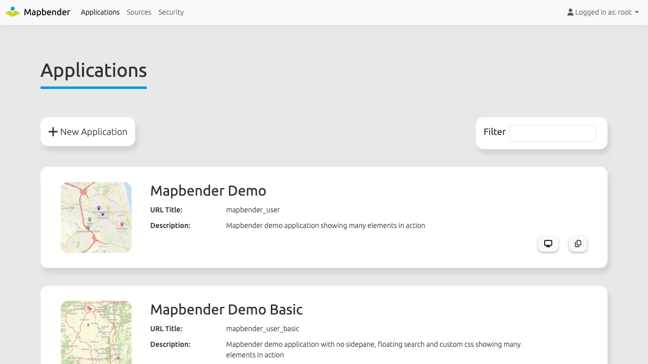
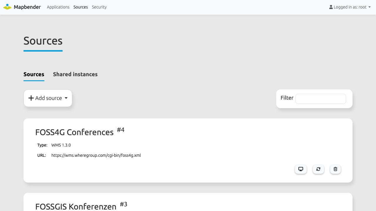
Mapbender is a geoportal framework maintained under the Open Source Geospatial Foundation. It lets an organisation compose, publish and manage web mapping applications from a browser backend instead of writing code: you register your existing OGC WMS and WFS services, arrange them into layersets, drop map elements such as a layer tree, legend, feature info, search, measure and print onto a template, and publish the result as a shareable map application.
A vector digitizer backed by PostGIS lets you edit feature data, and a full user, group and role system controls access to every application and element. Mapbender is a portal and proxy over the OGC services you already run, so it is light on data and runs comfortably on a small server while your map servers do the heavy lifting.
Mapbender is free software under the MIT License, copyright the Open Source Geospatial Foundation, built on the Symfony framework and backed by PostgreSQL with the PostGIS extension.
The whole platform is assembled before you launch it: the web server, the PHP runtime with every extension Mapbender requires, and PostgreSQL with PostGIS are installed, tuned and wired together, and three demo map applications built from OpenStreetMap ship ready to open, so a real map renders minutes after boot instead of after an afternoon of manual installation.
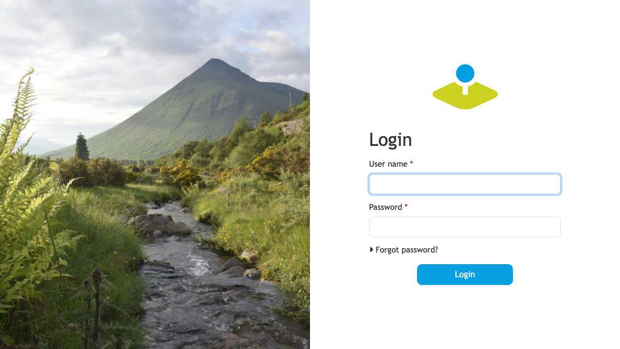
Mapbender normally ships a well known super administrator with the username root and the password root. This image closes that default: it ships no account, no environment file, no application secret, no JWT keypair and no database schema at all. On the first boot of your instance a one shot service generates a unique application secret, database password and JWT material, builds the schema and the demo applications, and rotates the super administrator to a unique password, proving through the real login form that root/root is rejected before it completes. The web server and PHP runtime will not start until that has finished, so an unprovisioned instance is never reachable.
The document root is the Symfony public directory and nothing above it, only the front controller is permitted to execute PHP, and PostgreSQL listens on loopback only. A paired step by step deployment guide covers first sign in, opening the demo map, registering your own OGC sources, your own domain and certificate, mail delivery and backups, and 24/7 cloudimg support is behind it.
Real screenshots taken while testing this image against its deployment guide.

Actual Budget is a free, open source, local first personal finance application built around the proven envelope budgetin...

Admidio is the open source membership management platform for clubs, associations and non profit organisations.

AdventureLog is a self-hosted travel companion. It lets you log the countries and regions you have visited, plan future ...
Aim is an open-source ML experiment tracker: your training code logs metrics, hyperparameters and other artifacts as it ...

The cloudimg image ships the free and open source, GPL-3.0 licensed AirTrail application, run the officially supported w...
Akkoma is a lightweight, highly customisable open-source server for the fediverse: a self-hosted, federated microbloggin...