Base
Hardened build
minimal ports, security patches applied at build time

NextGIS Web is an open source Web GIS server: store geospatial data, publish it as interactive web maps, and share it with desktop GIS clients over standard OGC services.
NextGIS Web is a Web GIS server from NextGIS. You upload vector and raster data, style it, and assemble web maps that render in the browser with a layer tree, feature identification, attribute tables and search. The same data is served as standard OGC endpoints, WMS and WFS, so desktop GIS clients such as QGIS and ArcGIS read straight from the server. Everything lives in one PostgreSQL and PostGIS database plus a file store, so the resource tree, users, permissions and geometry sit together in a single system you administer.
It suits organisations that need to collect, manage and publish spatial data from one place: local and regional government, utilities, surveying and engineering consultancies, and environmental and land management teams that want internal staff, external partners or the public to see the same authoritative maps.
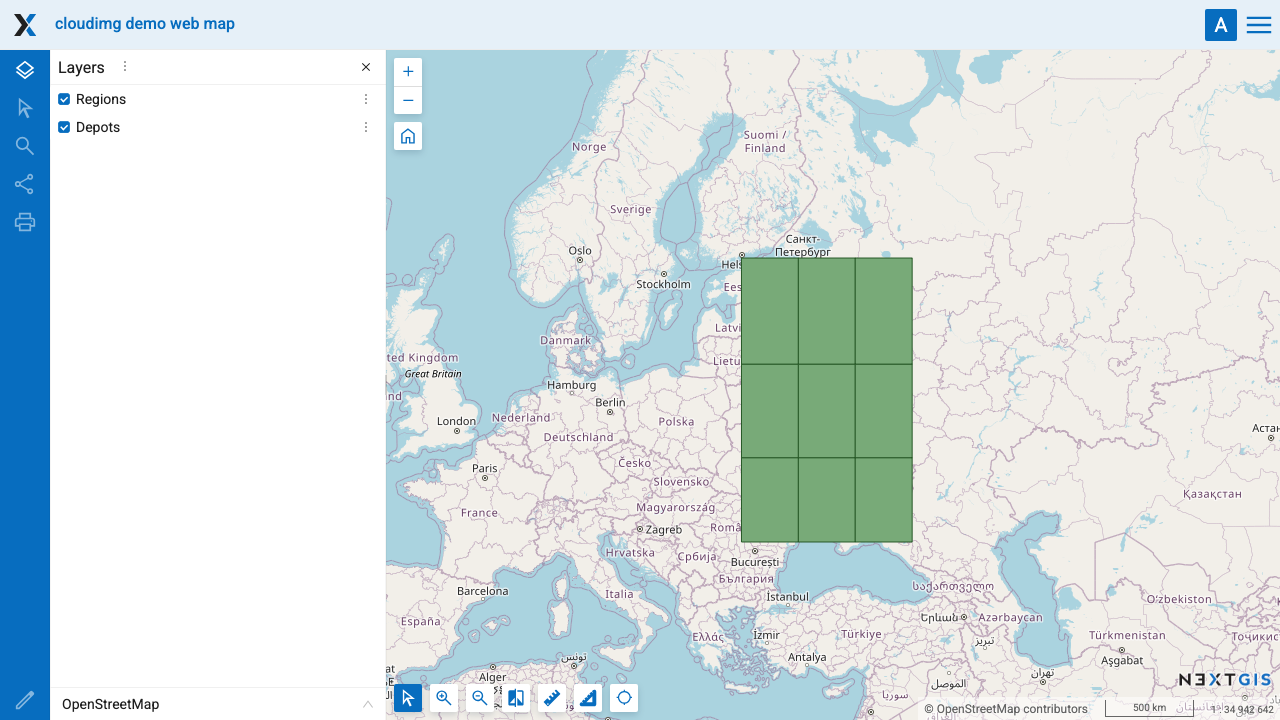
Standing up NextGIS Web means assembling a Pyramid application, a PostGIS database, a web tier and the GDAL stack it renders through, then wiring them together and proving they work. cloudimg ships that whole stack assembled and proven, with a demo web map that renders an actual map the first time you sign in rather than an empty page you have to populate before you can tell it works. Security is designed in: the built in administrator password is generated uniquely on first boot, never shipped as a default, and the database is reachable only from the machine itself. Your geospatial data sits on a dedicated data volume, a written deploy guide walks you through launch and first sign in, and every image is backed by 24/7 support.
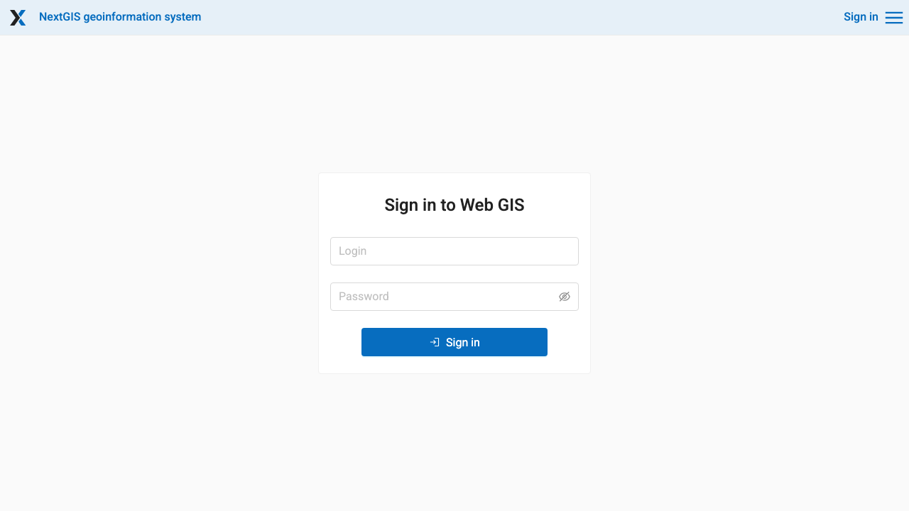
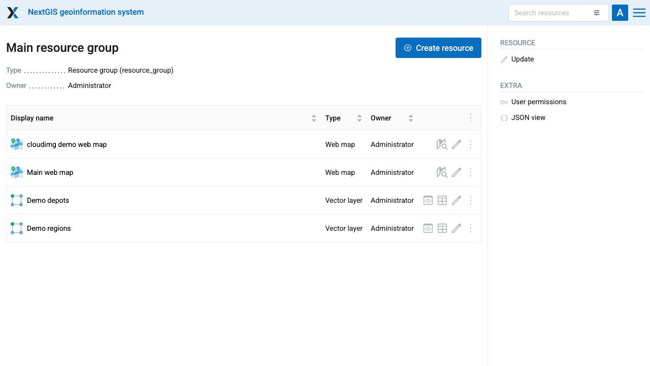
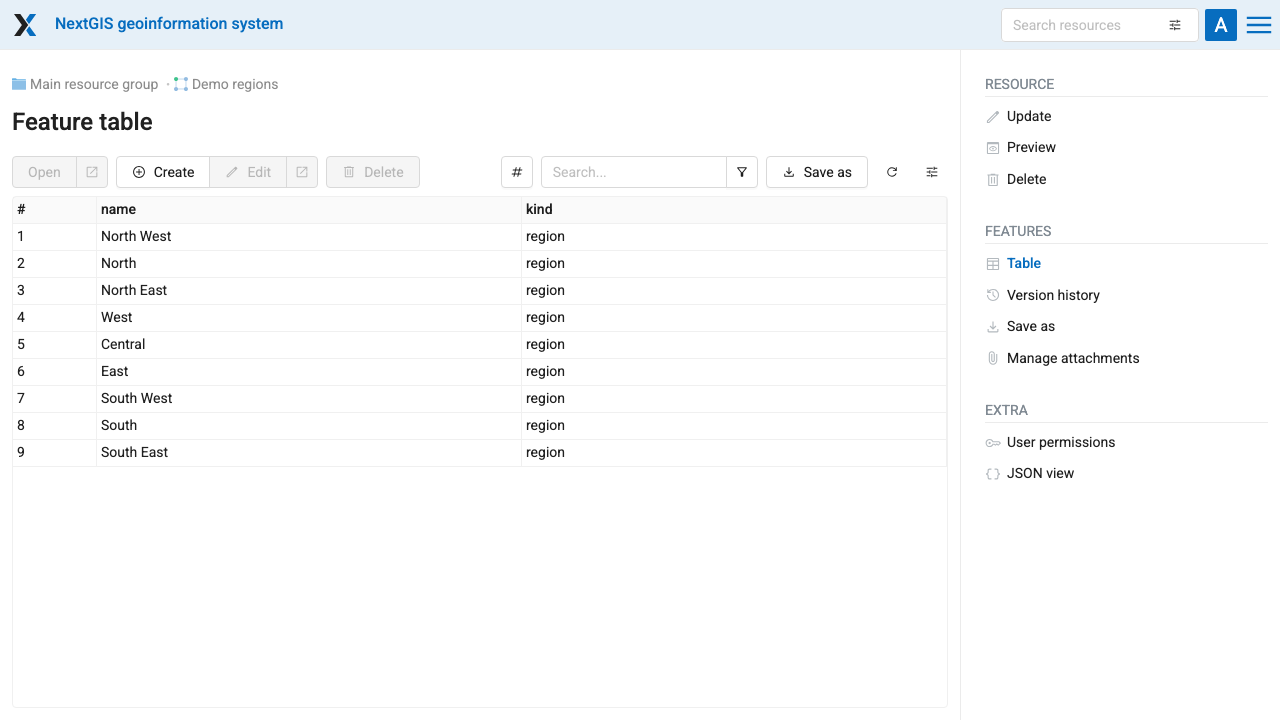
Real screenshots taken while testing this image against its deployment guide.

Actual Budget is a free, open source, local first personal finance application built around the proven envelope budgetin...

Admidio is the open source membership management platform for clubs, associations and non profit organisations.

AdventureLog is a self-hosted travel companion. It lets you log the countries and regions you have visited, plan future ...
Aim is an open-source ML experiment tracker: your training code logs metrics, hyperparameters and other artifacts as it ...

The cloudimg image ships the free and open source, GPL-3.0 licensed AirTrail application, run the officially supported w...
Akkoma is a lightweight, highly customisable open-source server for the fediverse: a self-hosted, federated microbloggin...