Base
Hardened build
minimal ports, security patches applied at build time

QGIS Server, the OGC compliant map server from the QGIS project, publishing your cartography as WMS, WFS, WCS and WMTS services with your desktop styling intact.
QGIS Server is the map server of the QGIS project. It takes a QGIS project file and publishes the layers inside it as standards compliant OGC web services: WMS for rendered map images, WFS for vector features, WCS for coverages and WMTS for cached tiles. Because it uses the same rendering engine as QGIS on the desktop, the symbology, labelling, layer order and print layouts a cartographer designed are exactly what clients receive over the web, with no second styling step and no translation into another server's rule language.
It suits organisations that already author their maps in QGIS and want to serve them to browsers, mobile apps, GIS desktops and any OGC client without re authoring, as well as teams building a self hosted spatial data infrastructure who want an open, standards first map server they run on infrastructure they control.
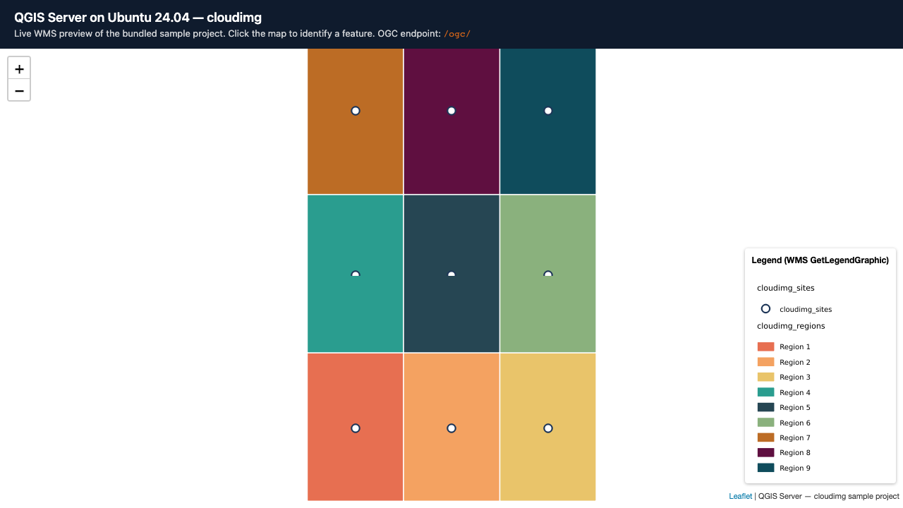
QGIS Server has no authentication of its own, so publishing it as shipped puts every layer of every project on the open internet. cloudimg closes that by design: the map server itself is reachable only over local sockets, a hardened reverse proxy is the single network listener, and every request passes an access gate whose password is generated uniquely on the first boot of each instance and written to a root only file, so nothing ships with a known or shared credential. The runtime is installed from the project's own signed package repository rather than built from source, so it stays patchable and keeps receiving security updates. A working sample project and dataset, authored by cloudimg so its licensing is unambiguous, is published on a dedicated data volume that is captured into the image and re provisioned on every instance, with a browser map viewer served locally so you can confirm the service renders before you publish your own work. Every deployment is paired with a step by step deploy guide and backed by 24/7 cloudimg support.
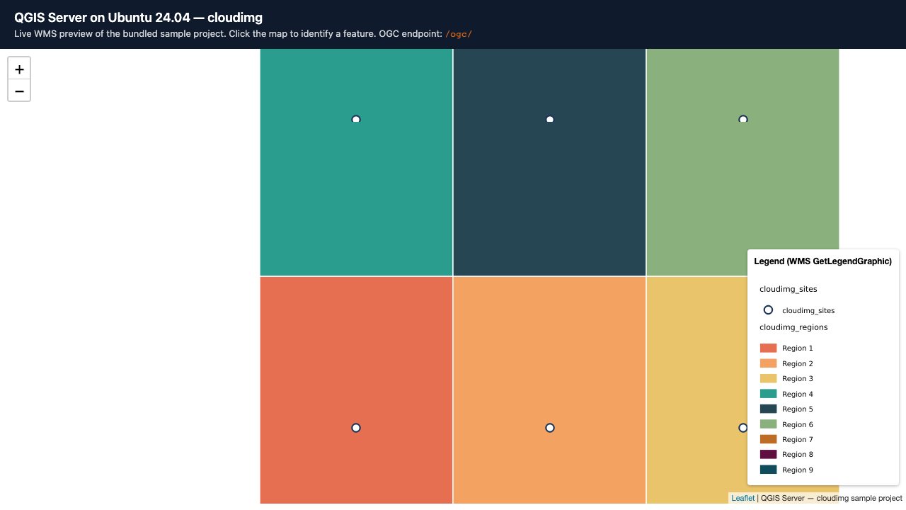
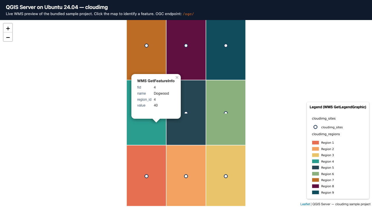
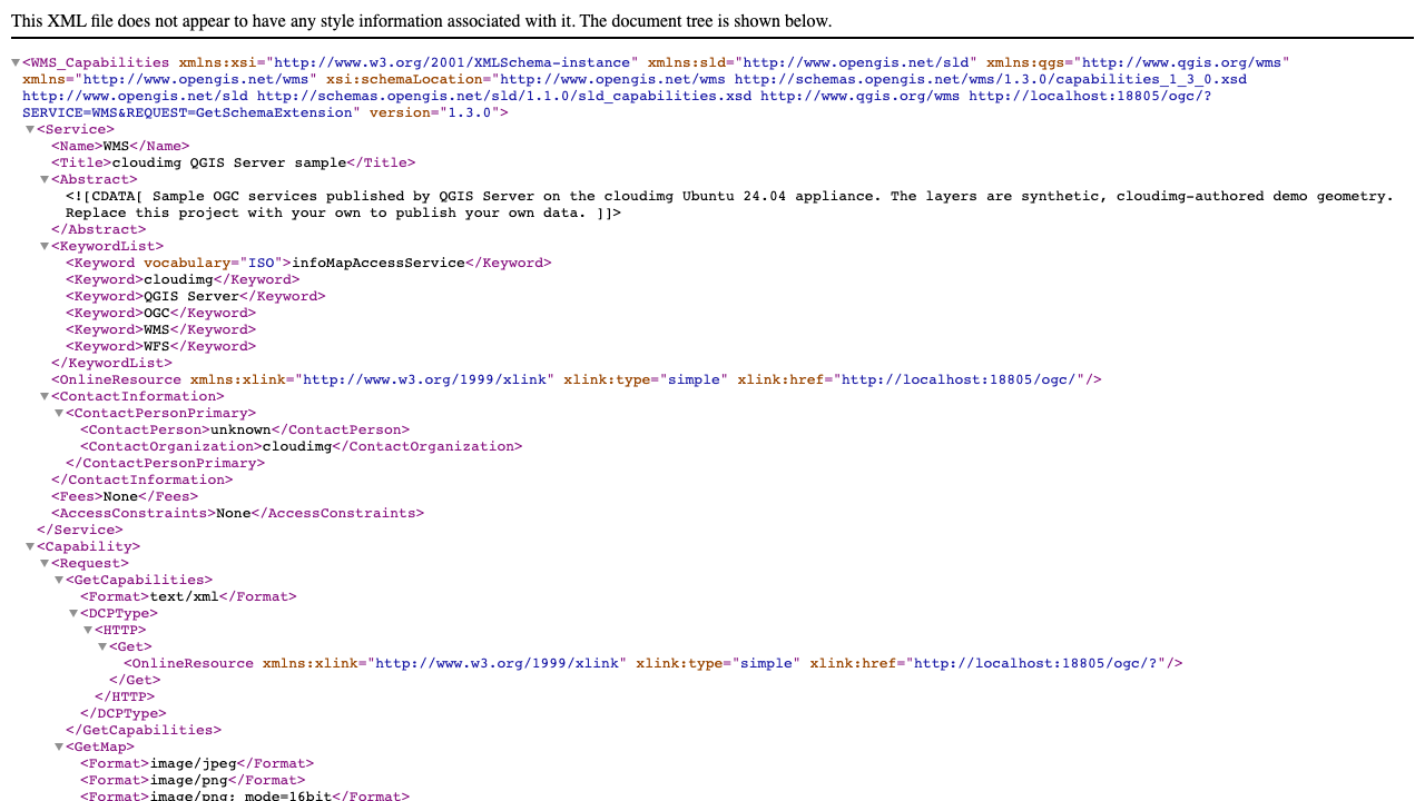
Real screenshots taken while testing this image against its deployment guide.

Actual Budget is a free, open source, local first personal finance application built around the proven envelope budgetin...

Admidio is the open source membership management platform for clubs, associations and non profit organisations.

AdventureLog is a self-hosted travel companion. It lets you log the countries and regions you have visited, plan future ...
Aim is an open-source ML experiment tracker: your training code logs metrics, hyperparameters and other artifacts as it ...

The cloudimg image ships the free and open source, GPL-3.0 licensed AirTrail application, run the officially supported w...
Akkoma is a lightweight, highly customisable open-source server for the fediverse: a self-hosted, federated microbloggin...