Base
Hardened build
minimal ports, security patches applied at build time

wanderer, a self hosted trail and GPS route database for planning, mapping and logging your hikes, rides and runs with GPX tracks, waypoints, photos and stats.
wanderer is an open source database for outdoor routes. You upload or draw trails on an interactive map, attach GPX tracks, waypoints, photos and notes, and keep hiking, cycling and running routes together with distance, elevation and other stats in one place. Trails can be grouped into lists, kept private or shared, filtered by activity and location, and searched instantly across everything you have recorded. It pairs a map centred web interface with a lightweight embedded database for your account and route data and a dedicated search engine for fast full text lookups, so a single modest instance is plenty for a person, a household or a small club.
The upstream project ships with open user registration enabled and its search engine and backend keys set to public example values, so cloudimg makes every instance secure by default before the port is ever public. On first boot each instance generates its own search engine master key and backend encryption key, seeds a personal login and a separate backend administrator account each with a random password written to a root only file, and leaves open signup switched off so a fresh instance is not world joinable. The web app, the database and the search engine run as containers bound to loopback and are reached through one hardened reverse proxy, with the backend admin console kept off the public port and the search engine never exposed. Every deployment comes with a paired deploy guide and 24/7 cloudimg support.
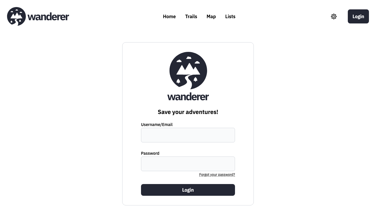
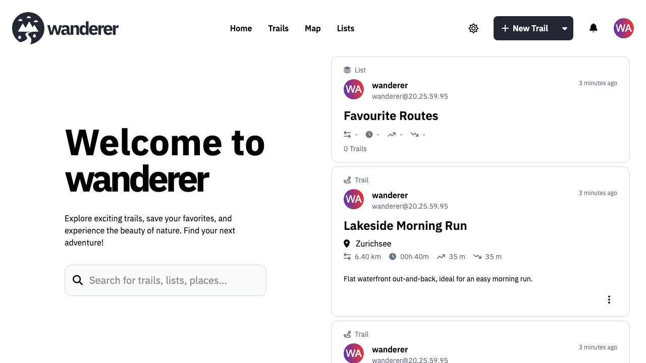
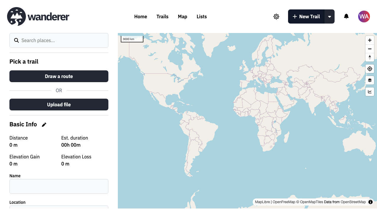
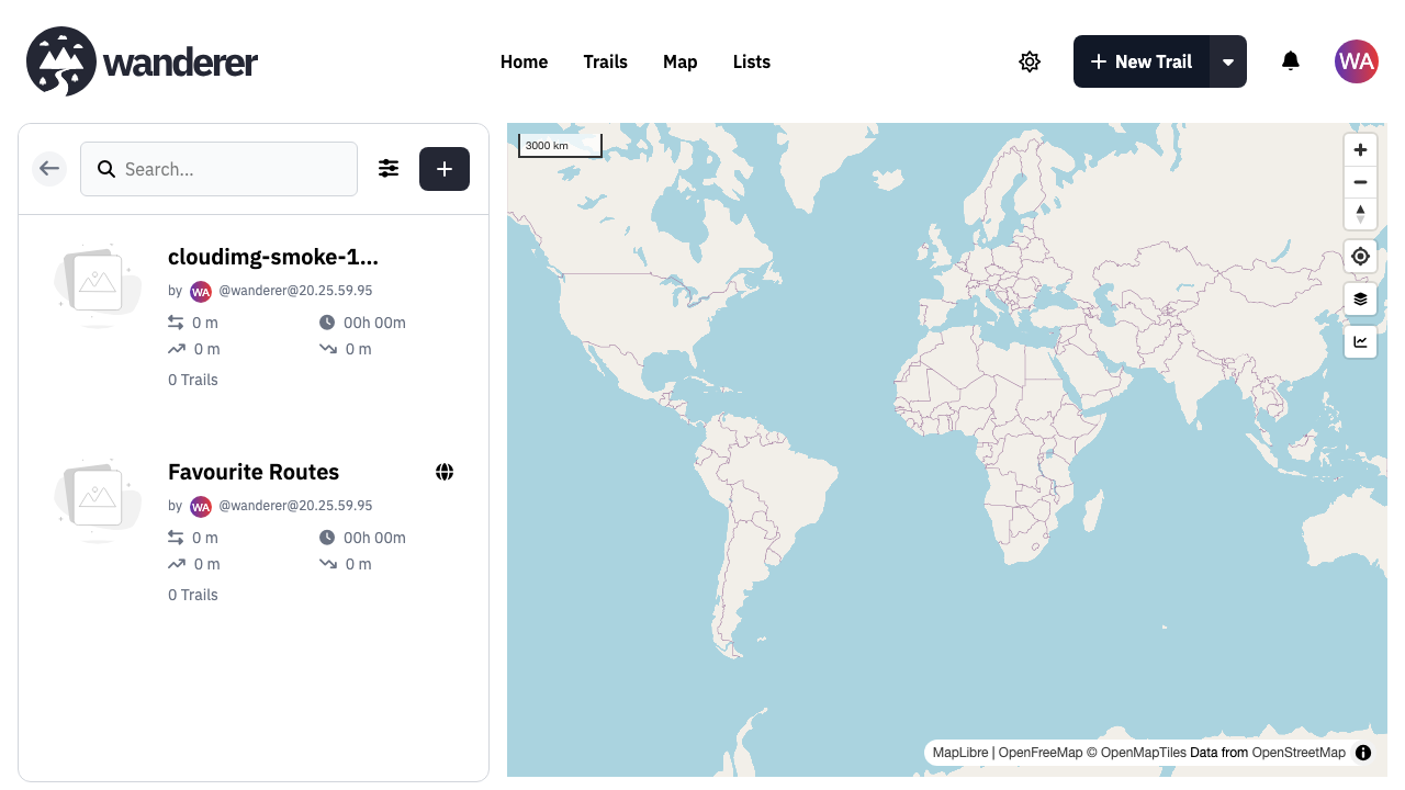
Real screenshots taken while testing this image against its deployment guide.

Actual Budget is a free, open source, local first personal finance application built around the proven envelope budgetin...

Admidio is the open source membership management platform for clubs, associations and non profit organisations.

AdventureLog is a self-hosted travel companion. It lets you log the countries and regions you have visited, plan future ...
Aim is an open-source ML experiment tracker: your training code logs metrics, hyperparameters and other artifacts as it ...

The cloudimg image ships the free and open source, GPL-3.0 licensed AirTrail application, run the officially supported w...
Akkoma is a lightweight, highly customisable open-source server for the fediverse: a self-hosted, federated microbloggin...